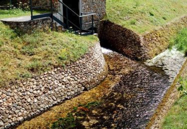
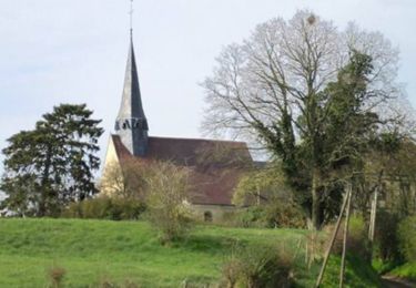
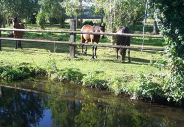
12 km | 13.3 km-effort
Verneuil, la Guichardiére, les bois Franc, Verneuil
Philippe Dubois 4
User
Length
13.2 km
Max alt
204 m
Uphill gradient
100 m
Km-Effort
14.6 km
Min alt
159 m
Downhill gradient
100 m
Boucle
Yes
Creation date :
2023-12-04 13:34:55.471
Updated on :
2023-12-04 13:36:56.753
3h18
Difficulty : Difficult
FREE GPS app for hiking
About
Trail Walking of 13.2 km to be discovered at Normandy, Eure, Verneuil d'Avre et d'Iton. This trail is proposed by Philippe Dubois 4.
Positioning
Country:
France
Region :
Normandy
Department/Province :
Eure
Municipality :
Verneuil d'Avre et d'Iton
Location:
Verneuil-sur-Avre
Start:(Dec)
Start:(UTM)
347771 ; 5400540 (31U) N.
Comments
Trails nearby
Entre France et Normandie (12 kms) - Verneuil-sur-Avre
Walking
Medium
Verneuil d'Avre et d'Iton,
Normandy,
Eure,
France
3h 0min
Yes
Entre France et Normandie - Verneuil-sur-Avre
Walking
Very difficult
(1)
Verneuil d'Avre et d'Iton,
Normandy,
Eure,
France
22 km | 24 km-effort
5h 25min
Yes
Sur les Pas de Vlaminck - Rueil-la-Gadelière
Walking
Medium
Rueil-la-Gadelière,
Centre-Loire Valley,
Eure-et-Loir,
France
8.3 km | 9.2 km-effort
2h 4min
Yes
Rueil la Gadeliére
Walking
Medium
Rueil-la-Gadelière,
Centre-Loire Valley,
Eure-et-Loir,
France
10.1 km | 11.1 km-effort
2h 31min
Yes
Verneuil sur Avre 20.28
On foot
Medium
Verneuil d'Avre et d'Iton,
Normandy,
Eure,
France
20 km | 22 km-effort
Unknown
Yes
Pullay Bois Francs 10.1 Km
Walking
Easy
Pullay,
Normandy,
Eure,
France
10.1 km | 11 km-effort
2h 27min
Yes
VerneuilsurAvre-Montigny
Walking
Medium
Verneuil d'Avre et d'Iton,
Normandy,
Eure,
France
21 km | 24 km-effort
5h 20min
Yes
Balade Balinoise - Bâlines
Walking
Easy
Bâlines,
Normandy,
Eure,
France
2.9 km | 3.3 km-effort
45min
Yes
Randonnée des sangliers
Mountain bike
Medium
Verneuil d'Avre et d'Iton,
Normandy,
Eure,
France
57 km | 65 km-effort
3h 0min
Yes